


BURLINGTON - T 11 Voting District, Racine County, Wisconsin
About
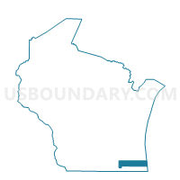
Outline

Summary
| Unique Area Identifier | 696400 |
| Name | BURLINGTON - T 11 Voting District |
| County | Racine County |
| State | Wisconsin |
| Area (square miles) | 0.57 |
| Land Area (square miles) | 0.57 |
| Water Area (square miles) | 0.00 |
| % of Land Area | 100.00 |
| % of Water Area | 0.00 |
| Latitude of the Internal Point | 42.61613530 |
| Longtitude of the Internal Point | -88.27774260 |
Maps


Graphs
Select a template below for downloading or customizing gragh for BURLINGTON - T 11 Voting District, Racine County, Wisconsin


Neighbors
Neighoring Voting District (by Name) Neighboring Voting District on the Map
- BURLINGTON - T 10 Voting District, Racine County, WI
- BURLINGTON - T 12 Voting District, Racine County, WI
- BURLINGTON - T 9 Voting District, Racine County, WI
- WHEATLAND - T4 Voting District, Kenosha County, WI
- WHEATLAND - T5 Voting District, Kenosha County, WI